
![]()
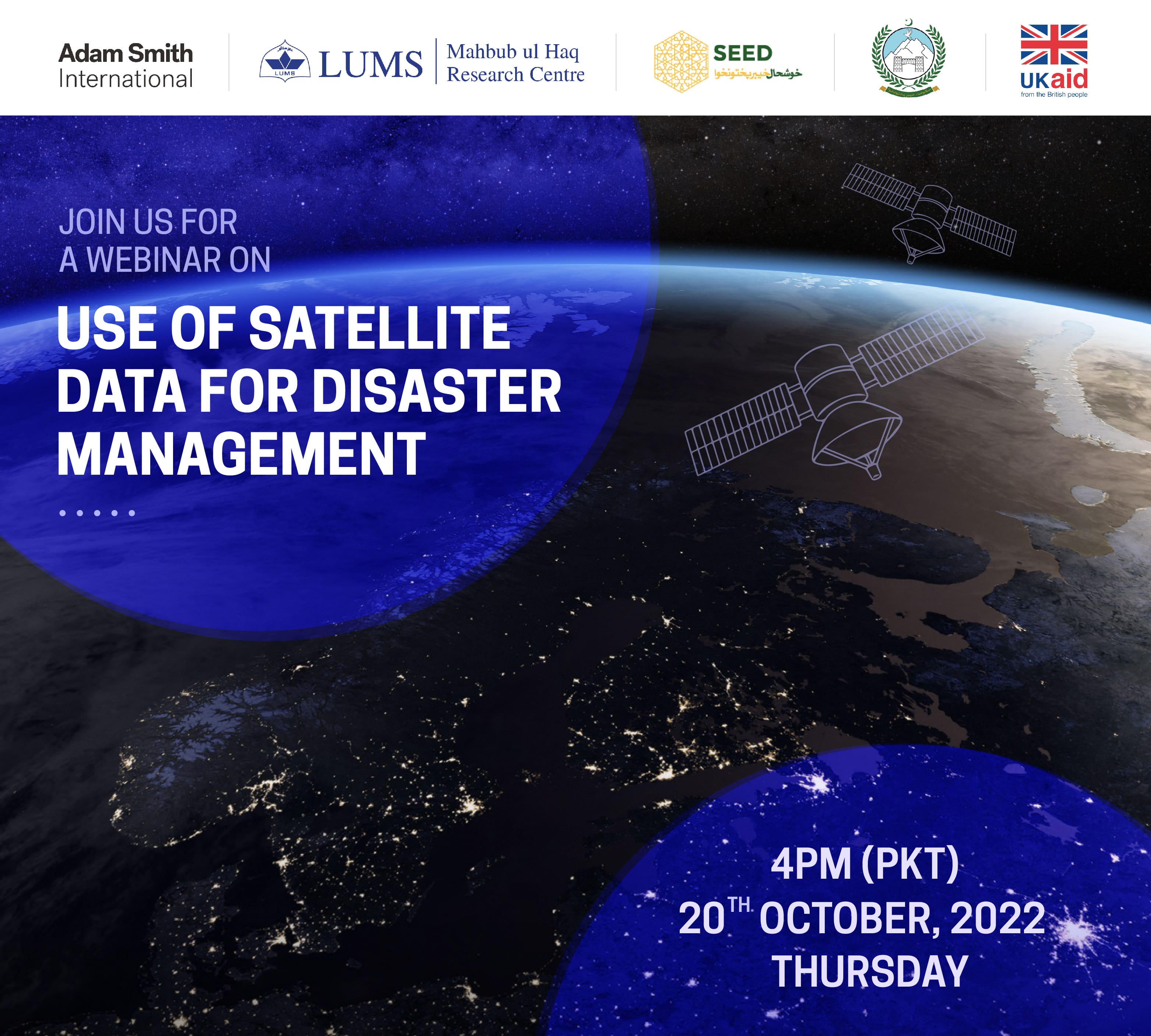
The Use of Satellite Data for Disaster Management
Speakers: Dr. Omar Mukhtar (SEED), Dr. Serena Ceola (Università di Bologna), Dr. Syed M. Hasan (LUMS), Mr. Faisal Fareed (PDMA, Punjab), and Mr. Sajid Imran (PDMA, KP)
Moderator: Nazish Afraz (Economist, SEED)
Date: 20th, October 2022
Time: 4:00 PM (PKT)
Satellite data can be a useful and inexpensive source of data for disaster management, assisting with forecasting, monitoring, assessing damages and helping direct targeted relief efforts. This webinar will focus on the use of NTL specifically and satellite data more broadly for disaster management in light of Pakistan’s recent floods. The webinar will discuss a recent study that use nightlight data. Dr. Serena Ceola from University of Bologna will present her work correlating the proximity of nightlights to rivers to flood damage.
The webinar will also discuss what data sources are currently being used in Pakistan for disaster mitigation and relief, what the main gaps are, and how they might usefully be supplemented by satellite data, in light of the case study presented.
Mahbub ul Haq Research Centre at LUMS
![]()
![]()
![]()
![]()
Postal Address
LUMS
Sector U, DHA
Lahore Cantt, 54792, Pakistan
Office Hours
Mon. to Fri., 8:30 a.m. to 5:00 p.m.